Account
Ngong Ping to Tung Chung via Kiss the Wall

We embarked on an exhilarating journey to Ngong Ping to kick off our hike at Wisdom Path, commencing our ascent of Lantau Trail Section 3 toward the majestic Lantau Peak, the second-highest peak in Hong Kong.
Distance - 7.5km
Duration - 5.5 hours (Include photos & rest)
Difficulty - 5/5 Advance
The initial stretch of the hike presents a formidable challenge, courtesy of numerous flights of steps leading to the summit. Despite the arduous climb, the breathtaking vistas of the encompassing mountains and landscapes of Lantau Island provided a welcome distraction along the way.
Thankfully, the trail offers ample space for hikers to take respite, allowing us to rest and rehydrate before venturing further. Upon reaching Tsam Chai Au, a pivotal junction linking to various renowned hiking trails on Lantau Island, including Dog Teeth Ridge (Kau Nga Ling), Skylight Rock, Teapot Tsui, and South Heavens Gate, we felt invigorated to continue our ascent of Lantau Peak.
Reaching the summit was an awe-inspiring experience, as we were rewarded with a mesmerizing 360-degree panorama of the neighboring mountains and landscapes. After replenishing our energy at the summit, we proceeded to descend via Lantau Pass.
Traversing the Pak Tin Mun Cliffside trail en route to Kiss the Wall before ascending Lo Hon Gap to North Heavens Gate, we encountered a challenging and potentially hazardous route. Perched high and narrow along a cliff, the path required careful sideways movement and reliance on chains for support, particularly at Kiss the Wall section.
Despite the thrilling nature of the trek, the descent presented its own set of difficulties, with several steep sections preceding the rocky terrain of Lo Hon Gap. Navigating these challenges added an extra layer of excitement to our memorable hiking adventure.
The hike continues with a descent down Lohon Ridge, a path that leads to Tung Chung. This portion of the trail features a steep downhill and dense vegetation, with small, slippery stones along certain sections. Hikers are advised to use the small trees and branches for support while navigating the descent.
As the trail progresses, it declines steeply before eventually meeting the paved pathway at Fa Mun Ancient Trail. Following the signage toward Shek Mun Kap Village will lead hikers to the bus stop for a ride back to Tung Chung MTR station.
Overall, the hike poses significant challenges, with some sections particularly precarious. It may be slightly less difficult to complete the route in reverse for some individuals. Safety should be the primary concern for anyone attempting this hike.
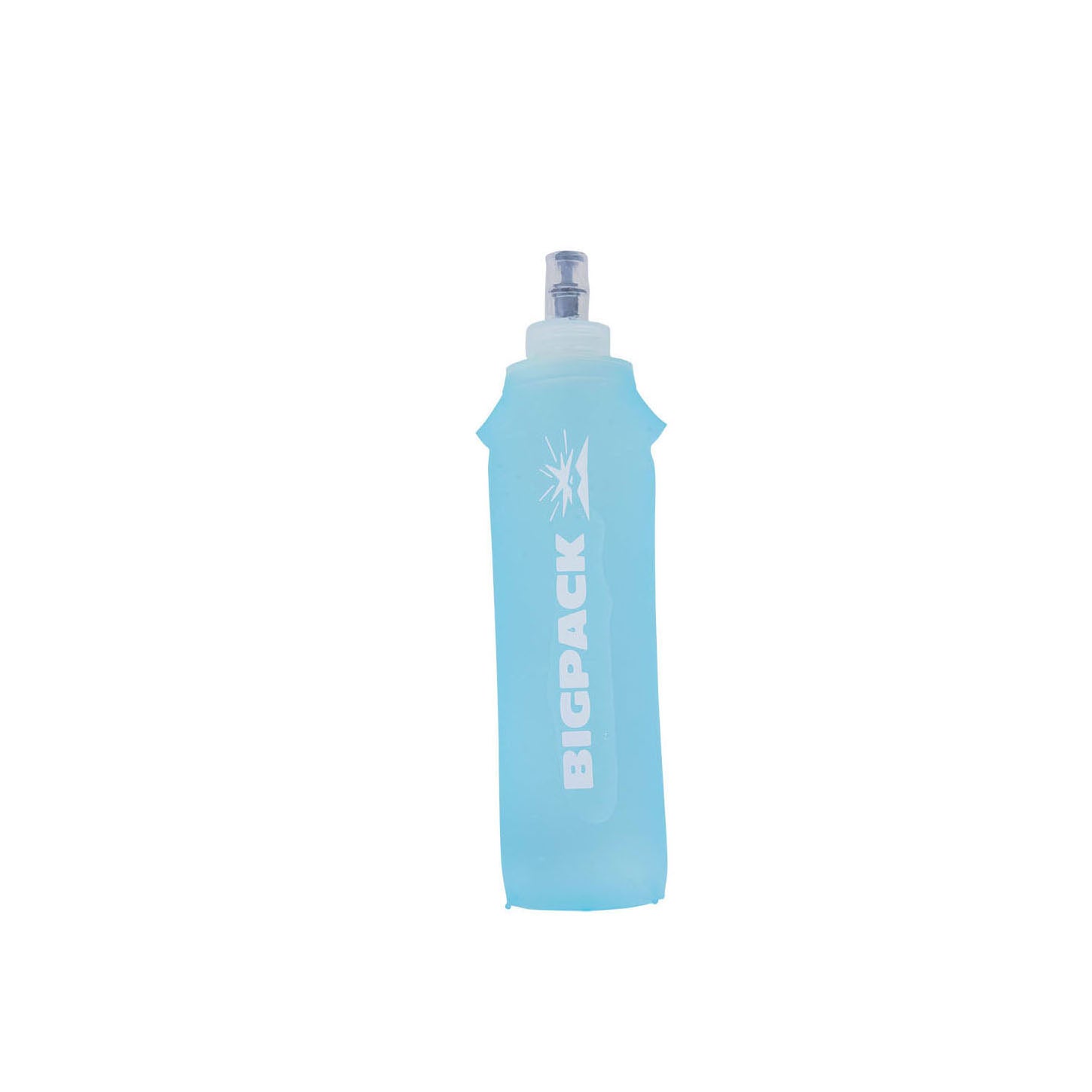
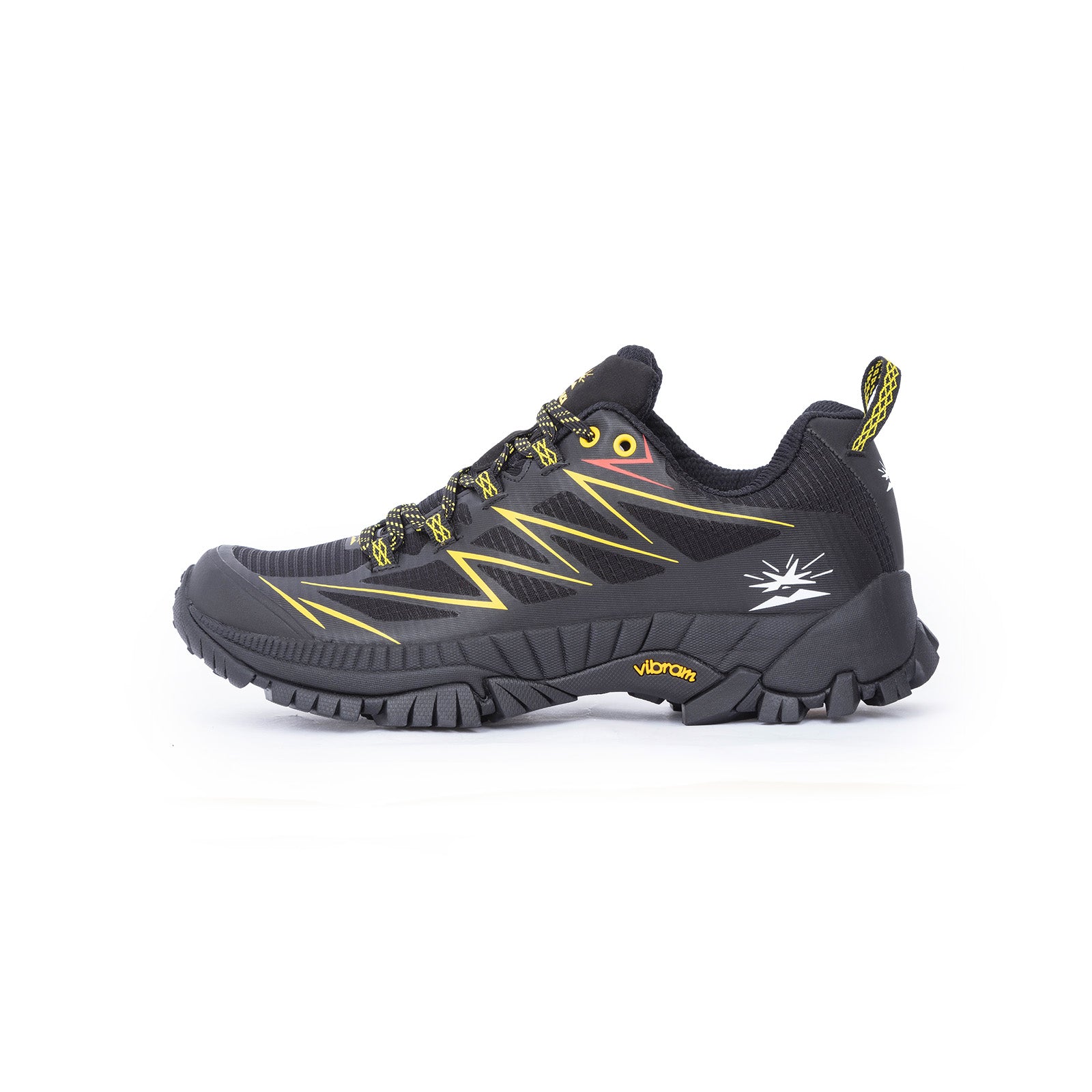
For this challenging journey, it is recommended to bring at least 1-2 liters of water and a few snacks. In hot weather, it's advisable to wear breathable, quick-dry hiking clothing and comfortable, high-traction hiking shoes.


You Might Also Like


